Red Hill Cemetery Project
Waycross, GeorgiaSummer 2022
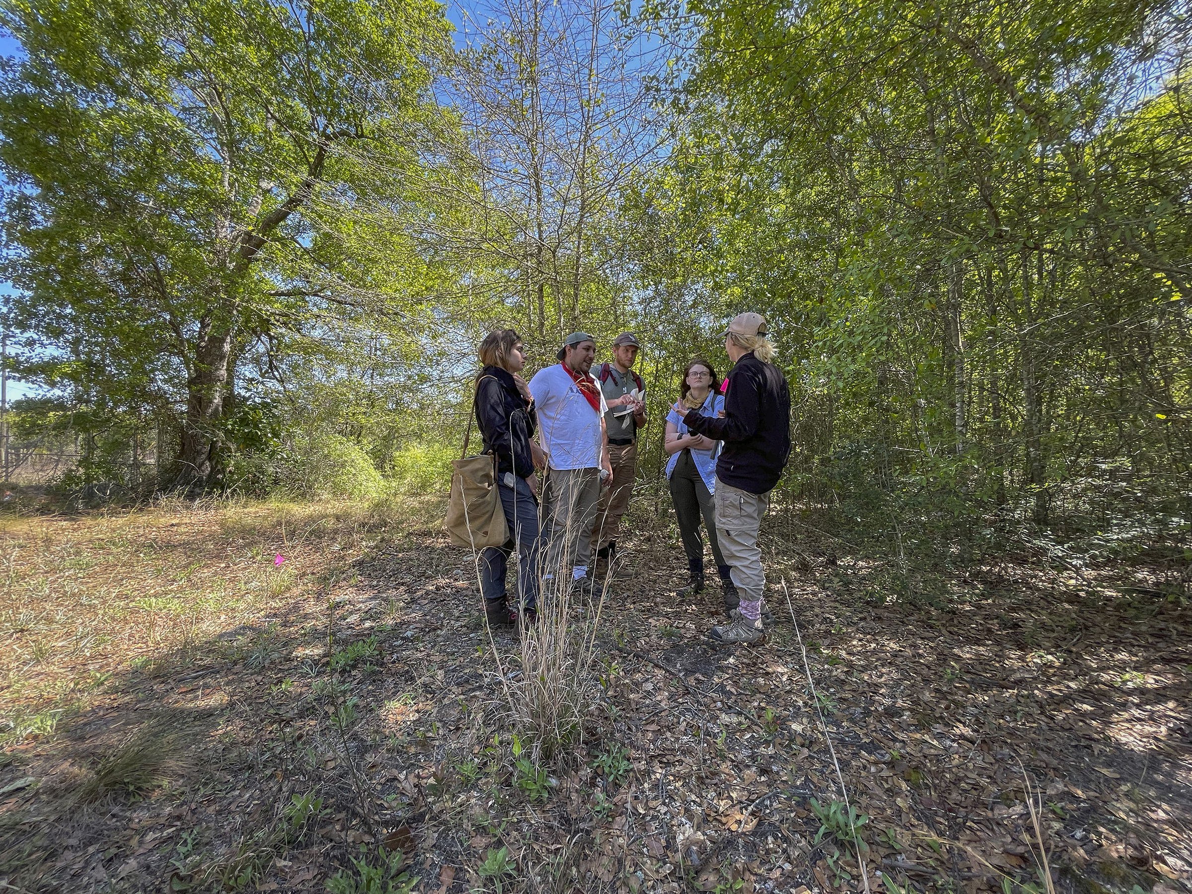
In the Summer of 2022, I worked alongside my mentor Dr. Gordon F.M. Rakita to continue research efforts in documenting portions of Red Hill Cemetery through mapping efforts using a surveyor transit and Ground Penetrating Radar. The Red Hill Cemetery Project is an ongoing collaborative project with students and faculty at the University of North Florida, and the Okefenokee Heritage Center that is currently documenting and recording the oldest African American cemetery in Waycross, Georgia.
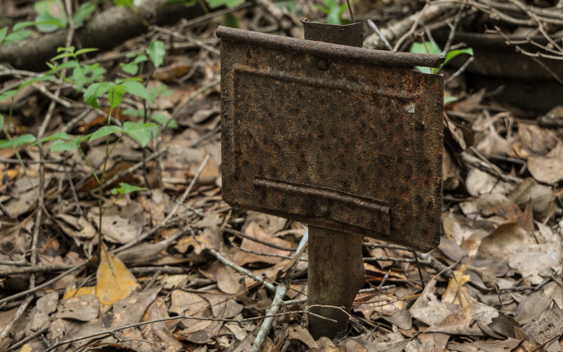
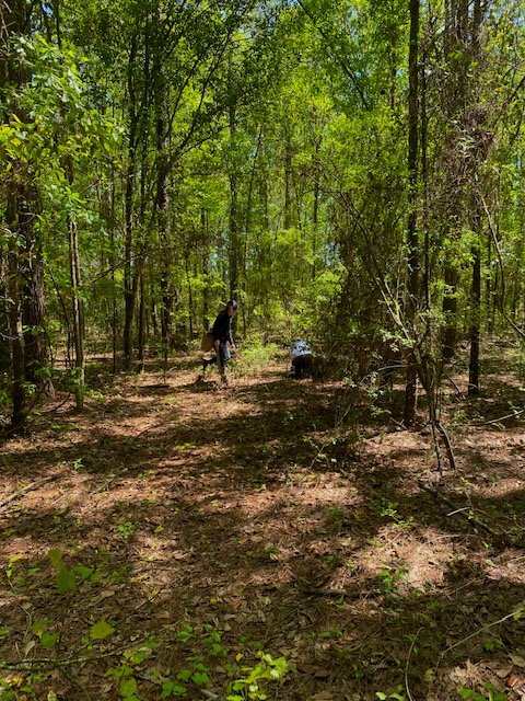
Approaching the approximately six-acre Red Hill Cemetery, the only indicator of the site is a small remnant fence that outlines the northwest edge of the community’s oldest African American cemetery. Beyond the fence, trees and dense brush dominate the landscape, obscuring the original pathways through familial burial plots. Gravestones, scattered bricks, and broken concrete vaults underline and punctuate the sacrality of the space, representing a few of the hundreds of graves that no doubt remain unidentified. The anthropology research portion of the Red Hill Cemetery Project assisted in mapping the cemetery, including existing indicators of burial locations, and identifying unmarked graves. By mapping and recording the cemetery’s current condition, gathering oral histories in the local community, archiving historical documents, and building a database of names and dates of individuals interred here, we seek to preserve and memorialize the lives of these important members of the Waycross community.
Mapping the Frontage Portion.
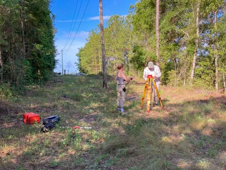
Prior to conducting GPR surveys, it is typical to create as detailed a map of the area in order to provide a reference map of known surface features that can be correlated with sub-surface anomalies identified in the GPR survey results. We began by creating a map of the approximately 15x60 meter cleared frontage area using a Sokkia model SCT6 surveyor transit. The transit, also known as an electronic distance meter, provides an easy method to obtain X, Y, and Z coordinates relative to the position of a datum point. A team of UNF anthropology students under my direction used the surveyor transit to capture and map points from the road, remaining fence posts, cleared frontage parameters, existing ledger markers, telephone poles, and topographical depressions and elevations.


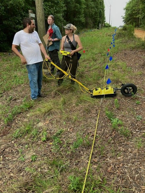
Ground Penetrating Radar
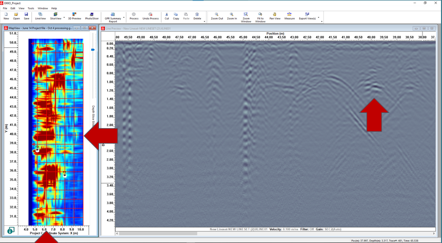
A 5 x 50 meter grid was staked out, starting at the southwestern end at two of the existing ledgers, following along the remaining fence post line near the road, to the eastern fence line, and the southern end which boarders the woods. Within this grid, X and Y lines were created at 1-meter intervals. This allowed us to collect data in a close cross-sectional manner to aid in the further detection of underground anomalies. The resulting GPR data was processed using Sensors & Software’s EKKO Project 6 analytical package.


Paper presented at the
2022 Research Symposium: Historic Cemeteries in Cultural Contexts: Local to Global, Clemson University, Clemson, S.C., October 24-25, 2022